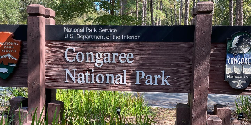
Congaree National Park
Drive to Arrive
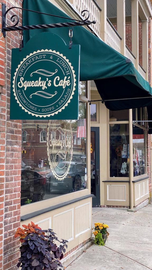
We normally try to drive only about 5 hours per day on road trips. On this one, however, we did not want to spend an extra night on the road so we left home around 9:30 a.m. on Thursday, Oct 14, 2021, bound for Columbia, SC. We ate breakfast at a local place in Princess Anne called Squeaky’s Cafe. They serve breakfast until 11 a.m., which worked for us as that’s what we wanted.
We left Squeaky’s and headed south on US 13, crossed the Chesapeake Bay Bridge Tunnel, through Norfolk, VA, and on to Emporia, VA, where we stopped for an early dinner at the Cracker Barrel. After dinner we got on I-95 south and had an uneventful drive to Lumberton, NC, where we stopped for gas (and Andy got a sweet tea from Chick-fil-a) and then got back on I-95 south to I-20 west to Columbia. We arrived at our hotel around 9:30 p.m.
So, we drove 517 miles (according to Google Maps) in about 12 hours including stops. Google Maps says it should take 8 hours and 10 minutes (presumably without stops). We probably spent an hour for each meal stop, and maybe another hour total for gas and leg-stretching breaks. The other hour – well, we did run into the obligatory construction zones on both US 13 and I-95, so I guess that’s where that time went. That’s okay, we weren’t in a hurry.
Day 1 – The Boardwalk Loop
After a full day of driving, we slept a bit late, got up, and had breakfast at a nearby Shoney’s. For those not familiar with Shoney’s, think of a Bob’s Big Boy or a Denny’s and you’ll have a good idea of what they’re like. As an aside, this was the first Shoney’s I’d been in for something like 35 years.
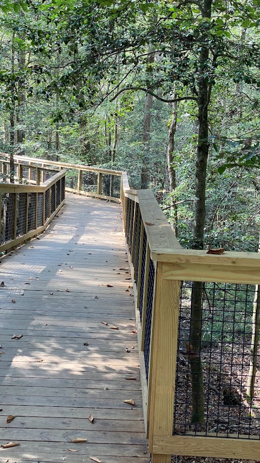
We got to Congaree National Park in the early afternoon and grabbed a trail map at the visitor center. There are several loop trails with lengths varying between 1.3 miles and 12.0 miles, and difficulty ratings of “Easy,” “Moderate,” or “Difficult.” The “Boardwalk Loop” was listed as an easy, 2.6 mile trail along an elevated boardwalk. This was the one we chose and off we went into the swamp. It was a quiet, peaceful stroll on an uncrowded trail (most of the time we could not see or hear anyone else nearby).
We saw a couple of snakes, a few squirls, a couple of turtles (in a lake adjacent to the trail), and a distant alligator (again, in the lake). Nancy took lots of photos, and we’ll probably add some to this blog post when we get home and she has a chance to cull and edit them, so if you’re reading this, maybe come back and take another look around mid-November 2021.
Day 2 – A Tale of Two Trails
We once again slept a bit late, then headed to Waffle House for breakfast. To say that the Waffle House here is a busy place would be an understatement. Luckily, we got a table right away. The food was good and the service was good, too, considering how busy the place was.
We left there and headed back towards Congaree National Park but bound for the eastern end, where there are two trails that looked interesting. The “Bates Ferry Trail” is a 1.1 mile trail that ends at the Congaree River, and the “Fork Swamp Trail” is a 0.6 mile trail that also ends at the Congaree River. I should note here that the brochure/map from the park visitor center says that distances listed are “round trip from the trail head.” More on this later.
We decided to head first to the Fork Swamp Trail, because it’s a bit shorter. When Waze (the GPS app that I use) announced “you’ve arrived at you destination” it was clear that we had not. I did notice on the map, however, that there was a turn coming up for a road that basically ran parallel to the main road and headed back to exactly the area we’d just driven through.
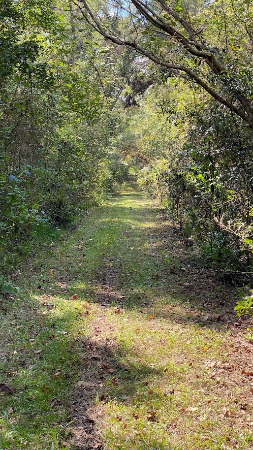
We turned down the road, even though there was no sign indicating where it led. Sure enough, it led to the trail head we were looking for. It was pretty overgrown, the parking area was small, and there were already two vehicles parked there. Also, one of the vehicles had a dog hanging around it, but no human was in sight. With really nowhere to park and a somewhat uninviting trail, we opted to head back to the Bates Ferry Trail, whose parking area (complete with sign) we’d passed a couple of miles up the road.
We easily found the Bates Ferry Trail parking area, which was larger and had only one car parked in it. We parked and got out, applied some bug spray, and walked over to the sign at the trailhead. The sign claimed that the round trip distance to the river and back was 2.2 miles, not 1.1 miles. This was a bit disappointing because we really didn’t want to walk that far. So we ended up walking about halfway and turning back. It was still a nice walk, very quiet and peaceful. Along the way we saw a couple of very small frogs, some pretty wild flowers, and heard something in the leaves off to one side of the trail.
We headed back to the hotel to relax and have a snack before heading out later for dinner. We’ll be heading to North Myrtle Beach, SC, tomorrow, but we’ve checked another National Park off the list. Only 59 more to go!